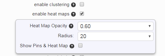
After many bug fixes and performances improvements we finally got around to a requested feature. Google Maps includes a heat map layer, so there is now an option to enable it.
In addition, the opacity and radius of the heat map can be set. There is an option to view the heat map alone or the heat map with pins.
Heat Map Options
Heat maps provide another way to view the density of pins. Red areas indicate a high density of pins the color fades to a light green as the density decreases. A good sample with heat maps enabled is the 14,000 zip code map. It shows a lot of zip codes on the east coast of the USA.
